Last spring as the employees of an Uptown law firm were packing up their offices for relocation, a very curious old map was discovered. A paralegal called Charlotte Mecklenburg Library and spoke to an archivist to figure out if the map had any particular value. It was in terrible condition—still in an old non-archival frame with obvious smoke, water and light damage as well as the possibility of mold. The artifact was in dire need of help.
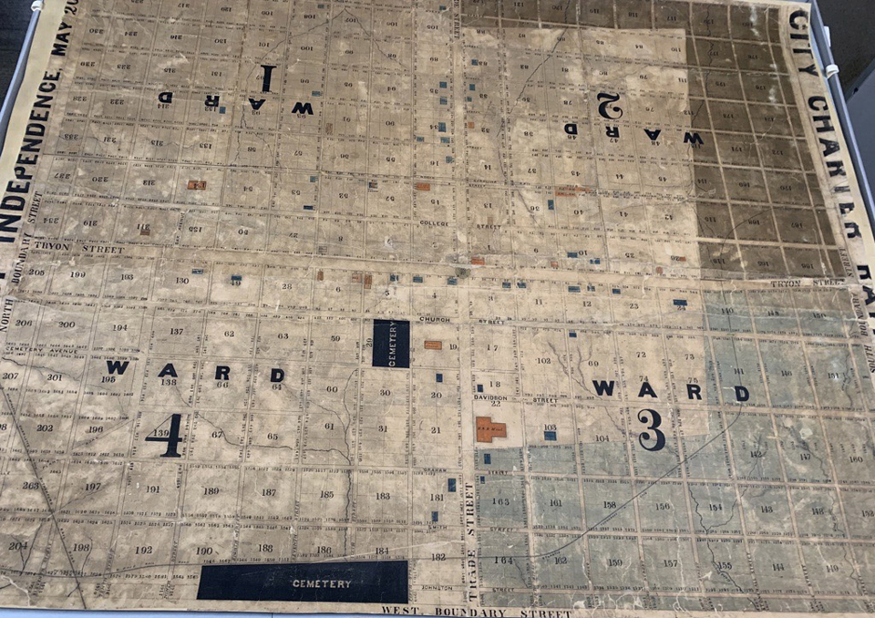
Initially the staff of the Robinson-Spangler Carolina Room speculated that the map had been created in 1870s, but a closer look revealed that Civil War-era street names like Stonewall and Johnston had been added by hand after the map’s initial creation and thus pre-dated the war.
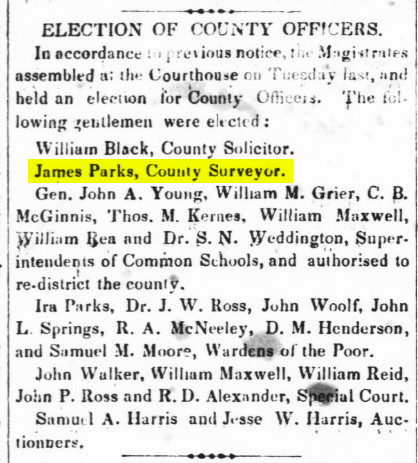
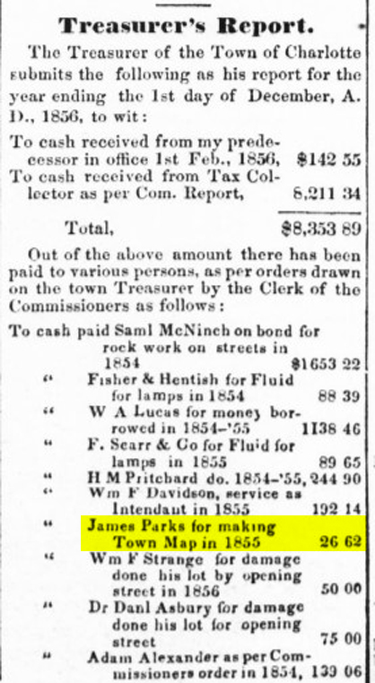
Further study concluded that the map was made for Samuel A. Harris, a local tax collector, who eventually became mayor of Charlotte. The Harris Map (as it is now referred) is the oldest known map of Charlotte. It shows that Trade and Tryon streets were already established as Charlotte’s city center and landmarks like First Presbyterian Church, the US Mint and former Governor Zebulon Vance’s home are also noted.
Librarians contacted ECS Conservation in Greensboro to perform the restoration. The cost of the map’s restoration was covered by The Lois M. Yandle Endowment Fund, generously created in 1999 by Lois and her late husband Marcus to support historic preservation projects of the Library. It’s an exciting example of how the Library Foundation’s endowed funds make a real impact on Library resources and services.
Preserving historical maps helps chart the growth and evolution of a city while also helping modern-day builders discover any “bad things under the dirt” that may be a barrier to construction. Architect and Foundation supporter Paul Kardous refers to the Carolina Room’s historical maps as inspiration when creating new developments.
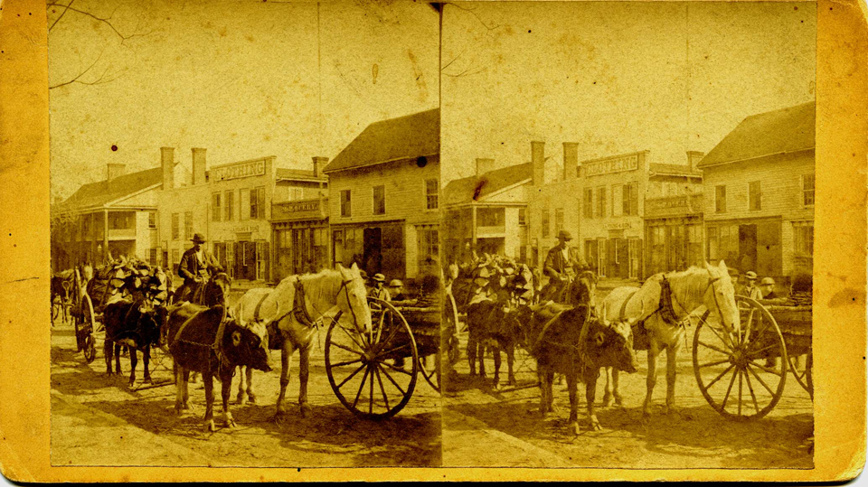
This map also captures a city before vehicle traffic. The roads of the 1850s would have been filled with mule carts, horses and pedestrians. The boundaries drawn on the map are just that – boundaries but not actual roads.
“Plus, you can imagine a world without 277,” remarked John O’Connor, MSIS & MPA, Robinson-Spangler Carolina Room Manager. “This map also captures a glimpse of our city before the mills came to town in the early 1880s. Charlotte was just a trading post at this point.”
The map has been fully conserved using the most up-to-date techniques.
“The work the conservators do is magic to me,” said O’Connor, “they restore maps like this one with the knowledge that there will always be more innovative techniques in the future.”
The map will be digitized and available for viewing online on “The Vault”, a vast digital archive of historical artifacts of North Carolina, launching later this year. The restored map will be archived in the new Main Library opening in late 2025. In the meantime, it will reside in a temperature and humidity-controlled area of the new Library Administration Center.
If the rich history of North Carolina inspires you, consider a gift to the Library Foundation. The Library’s expert staff devote countless hours and limitless care to the preservation of our region’s history, ensuring its accessibility to current and future generations.
Do you have an historical artifact hiding in your office or attic?
Contact the Carolina Room staff for more information or to share a potential treasure.

